Asia Contenent Map 1853, East Indies and Australia
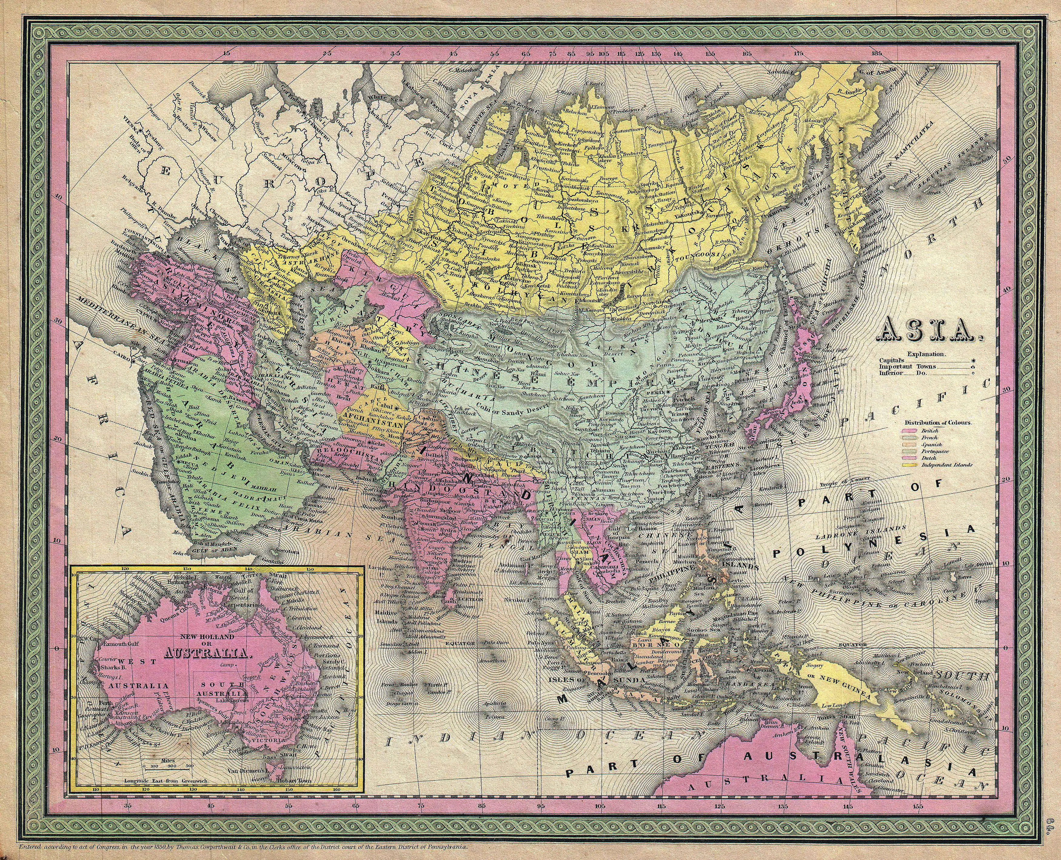
- Asia Contenent Map - 1853 - The map covers the entirety of Asia as well as the East Indies and Australia.
- The Asia Continent Map from 1853 stands as a historical cartographic treasure, encapsulating the vast expanse of the Asian continent along with the East Indies and Australia. This meticulously crafted map serves as a window to the geopolitical landscape of the mid-19th century, offering a comprehensive view of the intricate borders, diverse topography, and major landmarks that defined the region during that era. The detailed representation of Asia, stretching from the Middle East to the Far East, provides valuable insights into the political and cultural tapestry of the time.
- Notably, the inclusion of the East Indies and Australia underscores the global perspective of the map, reflecting the interconnectedness of territories and trade routes during this period of exploration and colonization. The Asia Continent Map of 1853 stands as a testament to the cartographers' skill and the geopolitical dynamics of the time, making it a captivating historical artifact for enthusiasts and scholars alike.