1867 Vintage Political Map: Routes of Travel from London to India and Japan in Asia
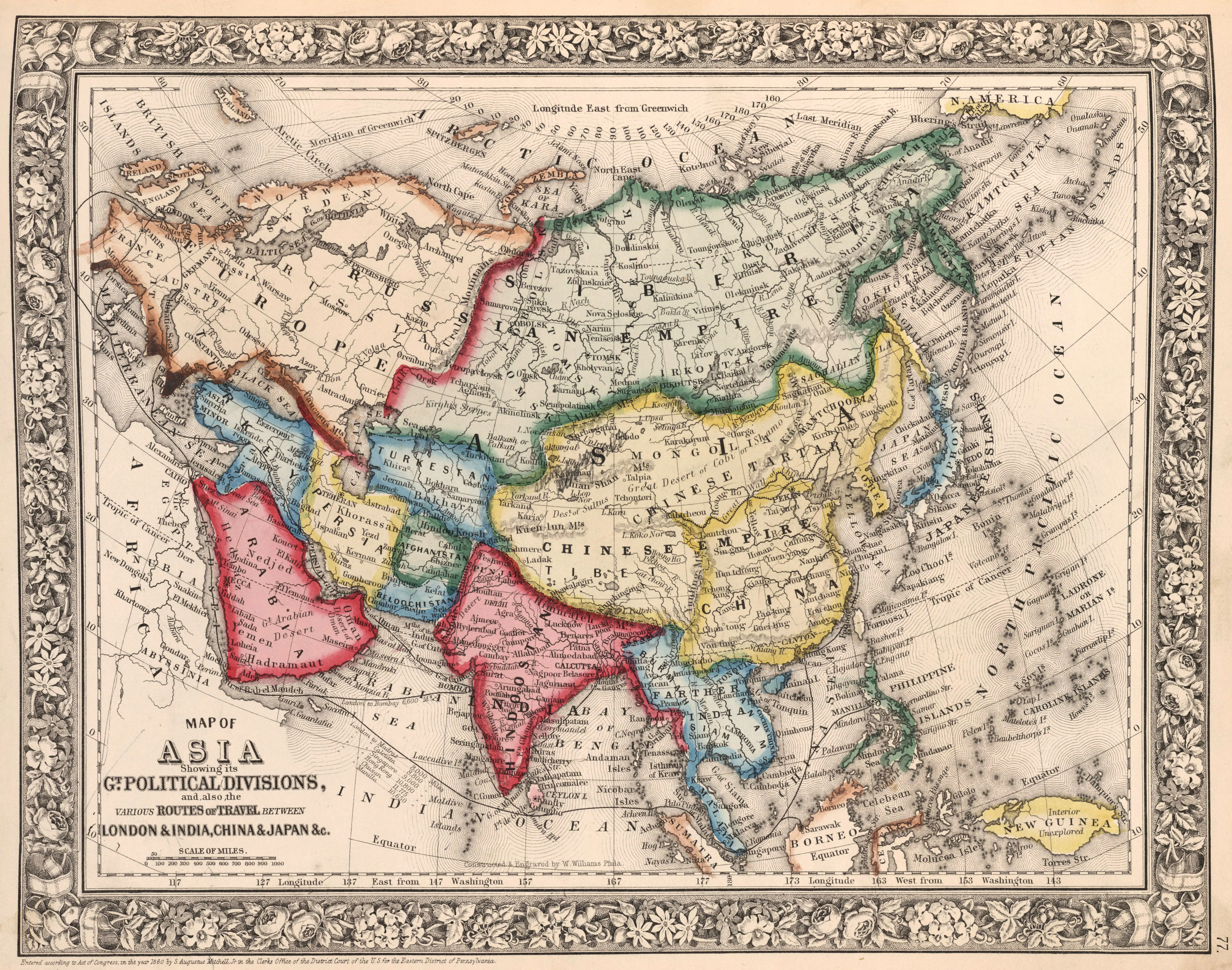
- Navigating the Past: Vintage Political Map of Asia Unraveling Routes between London, India, and Japan (1867)
- Step into the historical corridors of the late 19th century with our Old Political Map of Asia, a cartographic relic that unveils the intricate routes of travel between London, India, and Japan in the year 1867. This captivating map serves as a visual time capsule, depicting not only the geopolitical landscape but also the vital trade and travel connections that linked these distant regions.
- From the bustling streets of London to the vibrant landscapes of India and the enigmatic shores of Japan, each route is etched with precision, offering a fascinating glimpse into the challenges and opportunities faced by travelers during this era. Whether you're a history enthusiast, a scholar, or an adventurer at heart, this vintage map is your ticket to exploring the past and tracing the geopolitical ties that once crisscrossed the Asian continent.