Explore Pakistan Real Estate with Satellite Maps and Location
Explore the Best of Pakistan’s Real Estate with Our Detailed Guide to Satellite Maps and Local Locations. Uncover Valuable Insights into Property Investments, Navigate with Interactive Maps, and Discover Key Neighborhoods and Attractions Across the Country.


.webp)


Real Estate Exploration with Interactive Maps and Satellite Views
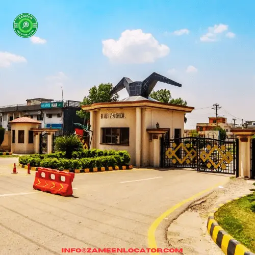
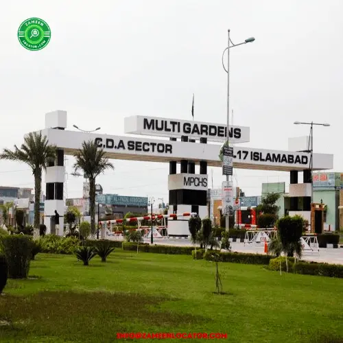
In the fast-paced world of real estate, having access to accurate and detailed information is crucial for both buyers and sellers. Thankfully, the advent of interactive maps and satellite views has revolutionized the way we explore properties. In this article, we will delve into the benefits and applications of real estate maps, including satellite views, interactive features, and popular platforms like Google Maps, providing you with valuable insights to make informed decisions.
1. Exploring Real Estate Maps
Real estate maps offer an immersive experience, allowing users to visualize properties in a way that static images cannot. With interactive maps, users can zoom in and out, navigate through neighborhoods, and get a bird's-eye view of the surroundings. These maps enable potential buyers to assess proximity to amenities, transportation networks, and even view street-level imagery.
2. Satellite Views for Real Estate
Satellite views provide an invaluable perspective by offering high-resolution imagery of properties and their surroundings. These images showcase aerial views, capturing details that are otherwise difficult to observe. Satellite views allow buyers to assess factors such as the property's proximity to green spaces, neighboring structures, and geographical features.
3. Benefits of Interactive Features
Interactive maps enhance the real estate exploration process by providing a wealth of information and features. Users can overlay data such as school districts, crime rates, and points of interest onto the map, facilitating better decision-making. Additionally, advanced filters enable users to customize their searches based on specific criteria, such as property type, price range, and number of bedrooms.
4. Google Maps: A Powerful Tool
One of the most widely recognized mapping platforms, Google Maps, offers an extensive set of features for real estate exploration. Users can leverage Google Street View to virtually tour neighborhoods, gaining a realistic sense of the area. Google Maps also provides transit information, traffic updates, and user-generated reviews, making it a comprehensive tool for both buyers and sellers.
5. Global Perspective with World and Globe Maps
For investors or those seeking international opportunities, world maps and globe maps are indispensable tools. These maps allow users to explore properties and real estate markets on a global scale. Whether you're looking for vacation homes, commercial investments, or simply expanding your knowledge, world maps and globe maps offer a broad perspective and facilitate global decision-making.
6. Earth Maps: Unveiling the Planet's Splendor
Earth maps showcase the beauty and diversity of our planet's landscapes. These maps provide satellite imagery of various locations, offering stunning visuals and insights into the Earth's natural wonders. Real estate enthusiasts can explore properties situated in picturesque areas, like coastal regions, mountains, or even remote islands, all from the comfort of their screens.
(FAQs)
1: How can I access satellite view maps for real estate purposes?You can access satellite view maps for real estate purposes using popular online platforms like Zameen Locator, Google Maps, Bing Maps, and other real estate-specific websites. By entering the property’s address or coordinates, you can activate the satellite view to get a detailed aerial image of the location.
2: Can I use satellite view maps to check my plot location online?Yes, satellite view maps allow you to check your plot location online by simply entering the address or coordinates into mapping services. These maps offer a bird's-eye view of the area, showing the exact location of your plot and its relation to neighboring properties, roads, and landmarks.
3: How accurate are satellite view maps for determining property boundaries?Satellite view maps provide a general overview of property boundaries but are not entirely precise for legal or surveying purposes. To get accurate boundary lines, it is recommended to consult official property documents, land records, or hire a professional land surveyor for exact measurements.
4: Are there any privacy concerns with using satellite view maps for real estate?Privacy concerns can arise, as satellite imagery might capture personal information like people on your property or private structures. Some platforms blur sensitive details for privacy protection, but it’s important to be aware of what’s visible in the satellite images, especially regarding private or sensitive areas.
5: Can I use satellite view maps to assess the surrounding area of a property I’m interested in?Yes, satellite view maps are incredibly useful for assessing the surrounding area of a property. You can explore the satellite imagery to check nearby amenities, roads, parks, schools, shopping centers, or even industrial zones, giving you a clear understanding of the property's proximity to key features.